
Japhilko82
Jan-Philipp Kolb
Recently Published
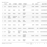
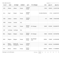
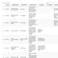


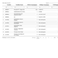
Variables Gesis Panel (PUF)
Overview of variables in the Public Use File of the Gesis Panel (http://www.gesis.org/gesis-panel/data/)
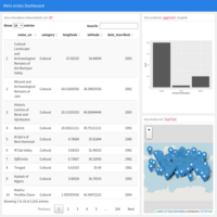
Mein erstes Dashboard
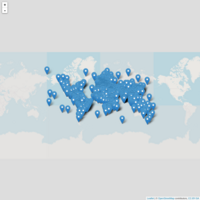
Eine Karte des Weltkulturerbes erstellt mit leaflet
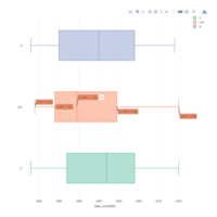
WHC site - date of inscription
WHC site - date of inscription
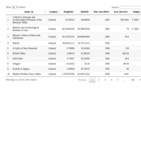
WHCdata
Dataset on the world heritage sites

Präsentation mit Rpubs
Eine erste Präsentation mit Rpubs erstellt.
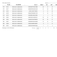
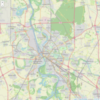
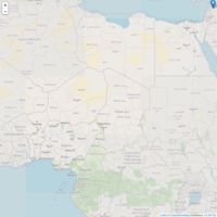
Openstreetmap Informations on Postal Code Areas in Berlin
Information downloaded via Overpass: http://wiki.openstreetmap.org/wiki/Overpass_API
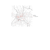
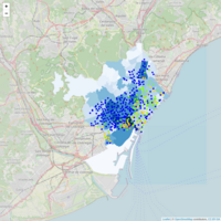
Charging Stations in Berlin
Download from openstreetmap.org,
Data Access with Overpass API
Visualisation with R-package ggmap
Different map types with R-package ggmap
Presentation on how to create different types of maps with the R-package ggmap.
https://cran.r-project.org/web/packages/ggmap/index.html
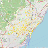
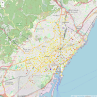
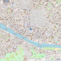
OpenStreetMap Info in City Center Trier
The R-package osmar was used to download information from http://www.openstreetmap.org
http://osmar.r-forge.r-project.org/RJpreprint.pdf
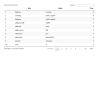
Categories World Heritage Sites
Data from datahub.io
https://datahub.io/dataset/unesco-world-heritage-sites
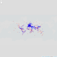
World Heritage Sites
Map on the UNESCO World Heritage Sites. Data from datahub.io
https://datahub.io/dataset/unesco-world-heritage-sites
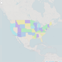
Map with US states
Easy example for interactive map
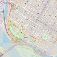
OpenStreetMap_Mannheim
A map of Mannheim, data from OpenStreetMap
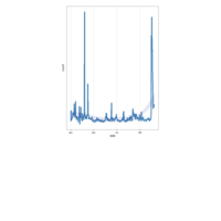
Traffic on German Wikipedia Page (islamic state)
Data from http://stats.grok.se/
R-package wikipediatrend used.
https://cran.r-project.org/web/packages/wikipediatrend/index.html

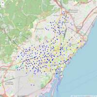
CampSites with hyperlinks
Data was downloaded from openstreetmap.de using the Overpass API (http://wiki.openstreetmap.org/wiki/Overpass_API)
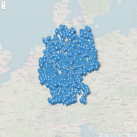
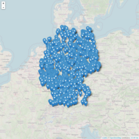
Campsites in Germany
Campsites in Germany (Map Source: OpenStreetMap.org)