Recently Published

Global Primate Thermal Detection Index (TDI) dashboard
This dashboard presents a global map and database of Global Thermal Detection Index (TDI) values to facilitate the planning of primate monitoring with Thermal Infrared (TIR) drones

Vietnam Wildlife Recovery Targets
Map and database of richness, threats, and conservation needs of threatened species (VU, EN, CR) with >50% of their global range inside Vietnam

Vietnam Protected Area Species List Dashboard
Protected areas (PAs) of Vietnam available through WDPA Protected Planet, with an aggregated list of species based on overlapping ranges with each PA.
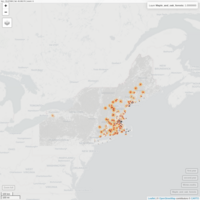
Potential dispersal ranges of invasive Winter Moths in NE USA
A simple interactive map showing the potential dispersal ranges of invasive Winter Moths (Operophtera brumata) in the Northeastern United States.
Winter moth observations were collected from 2020 and 2021 in northeastern states. A layer of USA Forest Types was downloaded from ESRI and Winter moth observations were extracted from the forest type cells to determine which were most at risk. After extracting, all non-occupied forest types were omitted, the remaining forests primarily included mixed hardwood forests, maple, and oak forests (shown in grey).
Dispersal ranges were estimated to be ~7.4 km annually by Elkinton et al. (2015); therefore a 7.4 km buffer was created around each observation point as a potential 1-year dispersal range (shown in red) and a second buffer an additional 7.4 km from that representing a 2-year potential dispersal range (shown in orange)
References
Elkinton, J., Boettner, G., Liebhold, A., & Gwiazdowski, R. (2015). Biology, spread, and biological control of winter moth in the eastern United States. FHTET-2014-07. Morgantown, WV: US Department of Agriculture, Forest Service, Forest Health Technology Team. 22 p., 1-22.
ESRI (2021). USA forest Types. Retrieved from (https://www.arcgis.com/home/item.html?id=3f6068f9712a441bbd14ec6af74576ca)
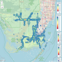
Python Density Map
Monthly hotspots of Burmese pythons in south Florida. data source EDDMaPs (https://www.eddmaps.org/)

Bird Nesting Analysis in R
A method for analyzing bird colonies using image processing techniques and point pattern analyses in R
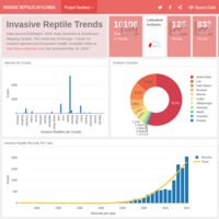
Invasive Reptiles of Florida
A dashboard with comprehensive analytics of invasive reptile species found in Florida, USA. Data Source: EDDMaPS 2020
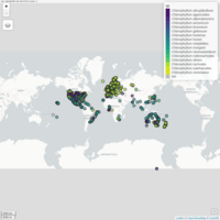
Chlorophyllum species of the world
Chlorophyllum sp. occurrences pulled from GBIF mapped
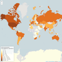
Mushroom Observer Records by Country
Total records of observation per country pulled from Mushroom Observer (retrieved on August, 15, 2019 from https://mushroomobserver.org/location/list_countries)