
cyclemumner
Michael Sumner
Recently Published
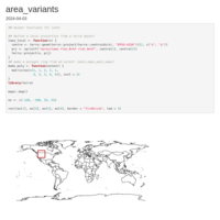
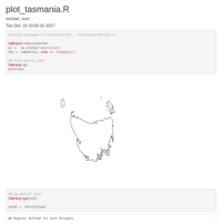
Area Variants
Exploring software calculating polygon area and different methods

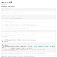
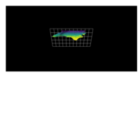
NSW mesh
https://twitter.com/mdsumner/status/1313446710098624520?s=20

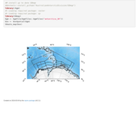
barycentric interpolation
Interpolate from mesh3d to a raster

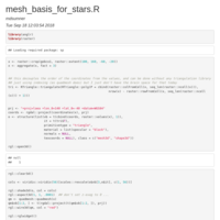
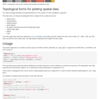
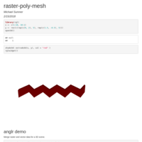
Meshes for geospatial work
Presentation at FOSS4G Oceania 2018 https://foss4g-oceania.org/

Geomesh - R examples
live code demoed at FOSS4G Oceania 2018

Circle sectors
Brute force circle sectors with map projections or Triangle


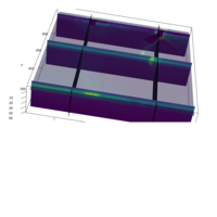
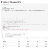
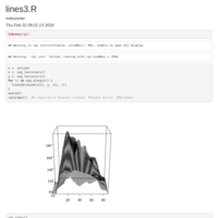
Quad and Triangle Mesh
Illustration of the difference between a discrete (flat tile) grid and a continuous triangulated grid.
fix ContourLines2SLDF
give values as value

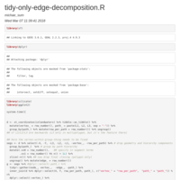
Tidy-only segment decomposition - #2
Turn sf m-poly layer into segments, first with tidyr gather/spread join, then with silicate SC. The performance is compelling.
Tidy-only segment decomposition
Turn sf layer into segments, first with tidyr gather/spread join, then with silicate SC. The performance is compelling. The first needs to clean up row_per_path.

silicate multipatch
The silicate TRI and SC models applied to a 3D multipatch shapefile of NYC building footprints.
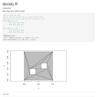
decido
Polygon constrained triangulation via ear clipping
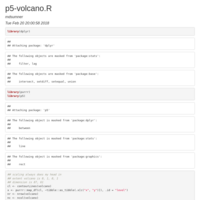
p5 volcano
Plotting contours of the volcano data set with p5
Earcut in R
Using V8 to drive the js Mapbox earcut library for polygon ear-clipping triangulation

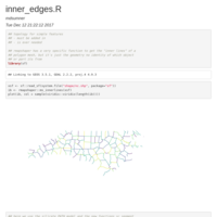
silicate topology
segments, edges, nodes and arcs in silicate - this doesn't explain much but it's a happy preview of where things can go
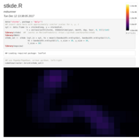
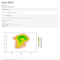
track KDE
simple space-time KDE with stkde
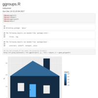
ggroups
New in ggplot > 2.2.1


Arc-node basics
silicate finally has a sensible basis for decomposing neigbouring polygonal features to arc-node form

Noded polygons
Topology of shared boundaries between neighbouring polygons requirings "conforming elements" where all edges are atomic


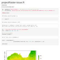
The Raster Abstration (WIP)
a work in progress outline of the basics of raster in R

rgdal-now-rwinlib
rgdal now has HDF5 amongst others for the Windows binary build on CRAN, making it more consistent with general facilities across platform

mesh topology for OpenGL in R
A relief map of North Carolina counties from a few lines of R code. In-development package https://github.com/hypertidy/anglr
silicate rationale
Argument for a general common form, a normalization of complex hierarchical structures such as planar shapes


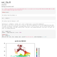
SST L3s
http://imos.org.au/fileadmin/user_upload/shared/SRS/Paltoglou_2010_IMOS_AVHRR_v1_0.pdf
http://imos.org.au/facilities/srs/sstproducts/sstdata0/

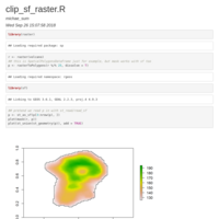
mesh plot
consistent polygon/raster lossless reprojection via mesh plot
comparison of AIC from gam
gam seems to return AIC in several different ways, unclear what each means


Re-wind polygons to remove internal boundaries
This does my head in because it juggles relational ids of segments and the structure id of the paths they must take to join together in turtle form. It's just a record to show a basic working example, to be tidied up

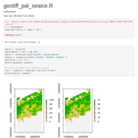
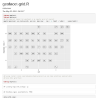
Seasonal sea ice trends
Draft geo-faceted summary of sea ice changes
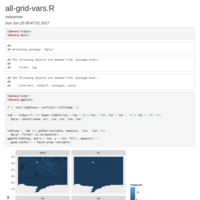
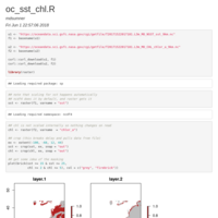
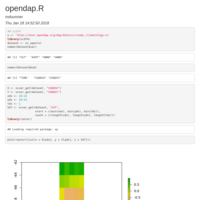
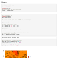
tidync all variables from a given grid
library(tidync)
f <- tail(raadtools::sstfiles()$fullname, 1)
library(dplyr)
tab <- tidync(f) %>% hyper_tibble(lon = lon > 50 & lon < 100, lat = lat > -75 & lat < -45) %>%
dplyr::select(anom, err, ice, sst, lon, lat)
library(tidyr)
tablong <- tab %>% gather(variable, measure, -lon, -lat) %>%
dplyr::filter(!is.na(measure))
library(ggplot2)
ggplot(tablong, aes(x = lon, y = lat, fill = measure)) +
geom_raster() + facet_wrap(~variable)


finite element reprojection
Reprojecting after decomposition to smaller pieces to avoid wrapping issues
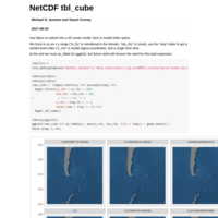
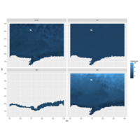
tidync NetCDF and dplyr::tbl_cube
Sample output from a 4D ocean model, using tidync to pass tbl_cube data to ggplot2

Document
3D convex hull etc
Distance to coast
Decomposition to triangles to apply continuous measures via finite elements
hyperslab read NetCDF with dplyr idiom
filtrate is a function to define the hyper slab index in a NetCDF
tidync
tidync early experiment
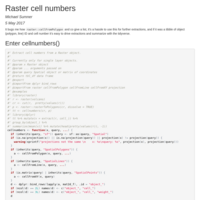
cellnumbers
Raster extract is amazing for extraction of grid values with cell indexes, this seems under-used in R and it's partly because it's tricky to juggle the outputs of the index-building functions.

AMSR sea ice Arctic polar stereographic
Basic georeferencing of the standard grid used for passive microwave sea ice products. As per https://gis.stackexchange.com/questions/238344/georeferencing-netcdf-of-unknown-coordinate-system-using-lan-lon-netcdf
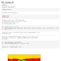
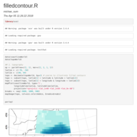
Fill between lines
filling between lines is a dark art
angstroms - early examples
Working with ROMS in R, angstroms package

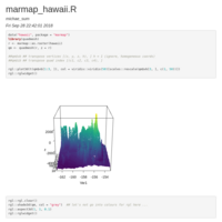
R Mapping Tips
Mapping broad-scale marine stuff

neighbours - set
neighbours by join, for all nc counties
neighbours
neighbours by join


Inside-out nesting
The tidyr::nest tables perform version of normalization, to reduce duplication in data. This document illustrates an "inside-out" version of the nest process to produce two tables.


sf ggraph
Simple features topology with ggraph

sf vs sp plotting
This document shows a migration of exsting sp code to the 0.2-7 (CRAN now has 0.2-8). The dev version of sf requires significant changes to get the same result.

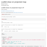
Leaflet - TopoJSON
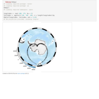
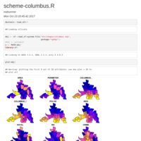
Albers Equal Area Conic with Antarctica from R, no cartographic catastrophe.
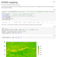
ROMS Mapping
plotting ROMS data with R in a few different ways

Polygon with holes with topography
Polygon decomposed to small triangles, merged with global topography, plotted with plotly

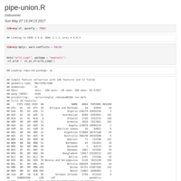
rangl plotly
Build mesh from maps for plotly
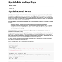
Spatial normal forms
A long description of the lack of topology in spatial data structures, and development tools to convert to mesh/network data structures while keeping the database-object framework common to GIS.

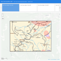
FTCA 1967 timeline 01
A timeline of the bushfire extent on 7 February 1967
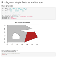
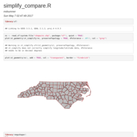
Simple features at the zoo
Incomplete survey of building and plotting polygons with holes