dieghernan
Diego HH
Recently Published

mapSpain: Mapas de España en R
Presentación para el Grupo de Usuarios R Madrid
mapSpain: Mapas de España en R
Creación fácil de mapas de España en R usando datos del Instituto Geográfico Nacional y GISCO (Eurostat)
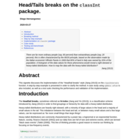
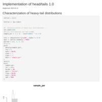
Head/Tails breaks on the classInt package.
This vignette discusses the implementation of the "Head/tail breaks" style (@Jiang_2013) on the `classIntervals` function. A step-by-step example is presented in order to clarify the method. A case study using `spData::afcon` is also included, as well as a test suite checking the performance and validation of the implementation.
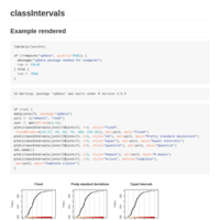
classIntervals: Example
Rendered example of man page classInt::classIntervals
Pretty labs
Vignette of getFormatNums
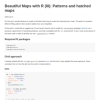
Patterns and hatched maps
A solution for b/w and academic maps.
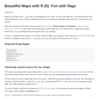
Beautiful Maps with R (II): Fun with flags
Put a picture on your map
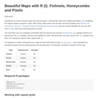
Beautiful Maps with R (I): Fishnets, Honeycombs and Pixels
Awesome simplified maps with R
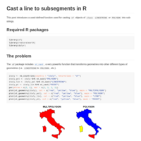
Cast a line to subsegments in R
This post introduces a used-defined function used for casting sf objects of class LINESTRING or POLYGON into sub-strings.
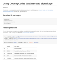
Using CountryCodes database and sf package
This vignette is an example of use of the database provided in the Github project Country Codes and International Organizations & Groups by using the sf package in R.