Recently Published

zoom_ggplot2
Use coord_cartesian instead of scale_ to zoom on plots
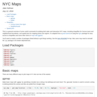
New York City Maps
A general overview of some useful commands for plotting both static and interactive NYC maps, including shapefiles for Census tracts and neighborhood boundaries, and spatial joins for mapping points into regions.
