
mayotunde
mapsnigeriainitiative
Recently Published
training
gdhdnjd jkfjkf4rm hjfhjk4 jkf4j4k
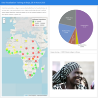
UNHCR 2015 Africa
Refugees registered in countries in Africa mid-2015
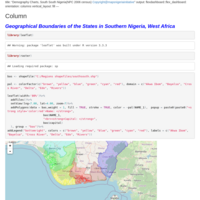
HTML
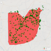
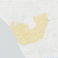
Boundaries of local government areas in Cross river state
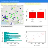
Sample Sales report visualization
Sample Sales report visualization for XYZ company branches nationwide from 2013 to 2015
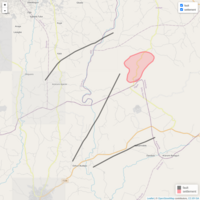
Drawing features to leaflet
Draw markers, lines and polygons onto leaflet powered web maps
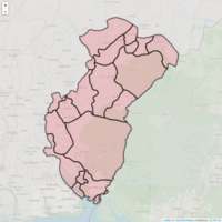
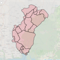
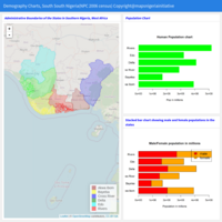
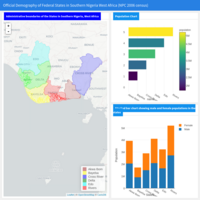
Story of Federal State creation in Nigeria, West Africa
illustrating the evolution of the administrative boundaries of Nigeria at state level.
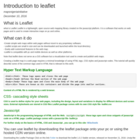
Introduction to Leaflet
Introductory lesson to creating and publishing maps using leaflet
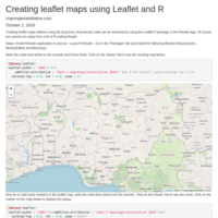
Basic steps to creating web maps using Leaflet and R
Presentation on Basic steps to creating web maps using Leaflet and R
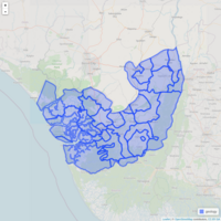
Using Layer control in Leaflet and R
Presentation on using leaflet layer contril using rmarkdown
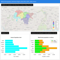
Presentation on FCT Nigeria
Presentation created using ioslides with Rmarkdown
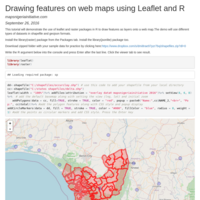
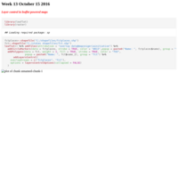
Drawing features on web maps using Leaflet and R
Demonstration showing how to add features in shapefile and geojson formats to web maps using Leaflet and R package.
Creating leaflet maps using Leaflet and R
Using the leaflet package in R to create and publish web maps.
Demo map
How to publish web maps using Leaflet and R package
Africa
Boundary map for Africa