
ozjimbob
Grant Williamson
Recently Published
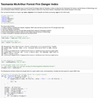
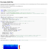
Tasmania Forest Fire Danger Index Map
Produces a map from real-time meteorological data of fire danger rating across Tasmania
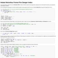
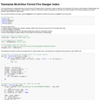
Hobart McArthur Forest Fire Danger Index
Produces a graph of current fire danger for Hobart, Tasmania.
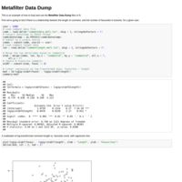
Metafilter Data Dump
Examples of how to read in data from the Metafilter Data Dump and produce some plots and statistics.
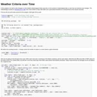
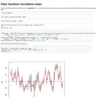
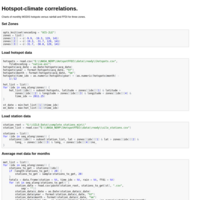
Hotspot-climate correlation
Plots of monthly MODIS hotspot counts for three climate zones in Australia, against monthly rainfall and Forest Fire Danger Index
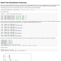
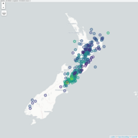
Giant Tree Distribution Summary
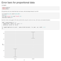
Testing out Knitr with some real data.