Recently Published

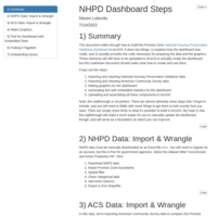
NHPD Housing Dashboard Walkthrough
A step-by-step walkthrough of how to produce the Promise Zone affordable housing dashboard in ArcGIS storymaps, including how to import and wrangle data, how to produce the embedded graphics and text, and how to assemble and publish everything.

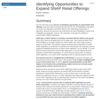
Identifying Opportunities to Expand SNAP Retail
A walkthrough of how to use open data from the USDA and City of Philadelphia to identify opportunities to expand SNAP retail in the West Philadelphia Promise Zone.

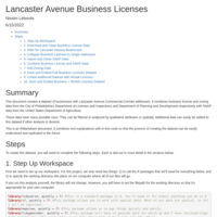
Lancaster Avenue Business Licenses
Creating two datasets of business licenses on the Lancaster Avenue Commercial Corridor, with additional data on SNAP, zoning, and rental licenses.

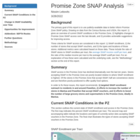
Promise Zone SNAP Access Report
Report and mapping tools on SNAP enrollment and access in the Promise Zone since 2010. Data from American Communities Survey (Census Bureau) and USDA.